NASA maps California in 3D at single-tree scale
NASA’s new map can show terrain at the scale of a single tree, but what will that detail do for wildfire planning?
NASA researchers built a consistent 3D map of California from airborne laser measurements collected through the U.S. Geological Survey’s 3D Elevation Program. Each map pixel covers one square meter, compared with 10 to 25 square meters for most space-based lidar data. [10]
Open original · [10] NASA Researchers Create 3D Maps of California to Assess Wildfire Risk - NASA Science — NASA News
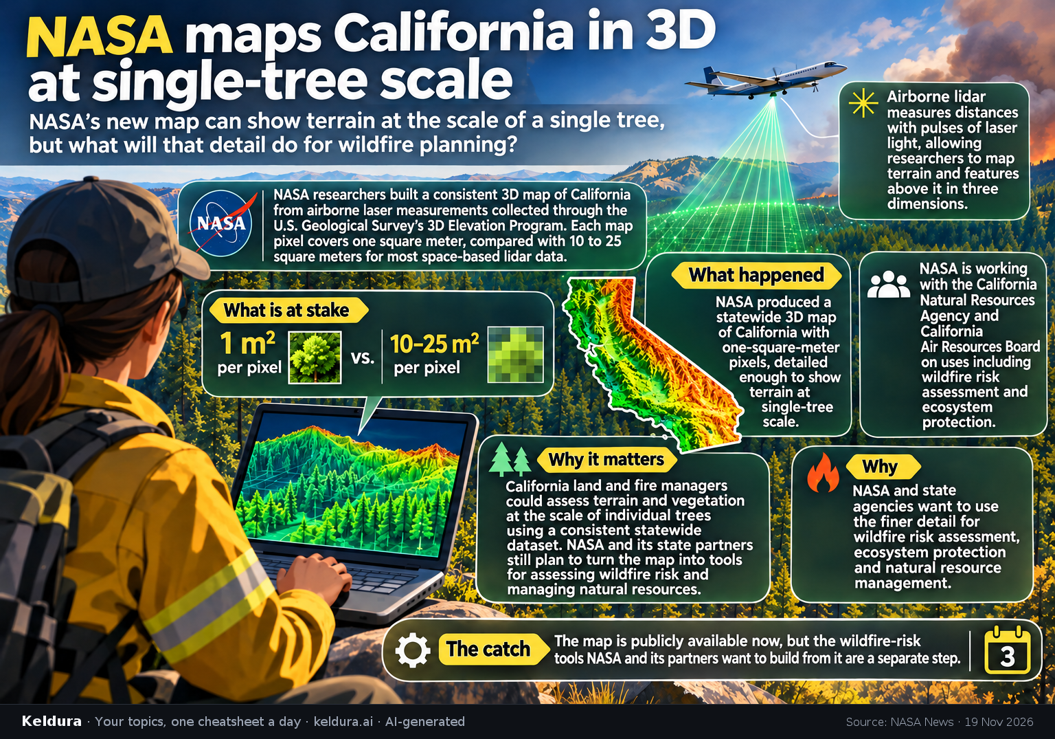
NASA researchers built a consistent 3D map of California from airborne laser measurements collected through the U.S. Geological Survey’s 3D Elevation Program. Each map pixel covers one square meter, compared with 10 to 25 square meters for most space-based lidar data. [10]
Why it matters: California land and fire managers could assess terrain and vegetation at the scale of individual trees using a consistent statewide dataset. NASA and its state partners still plan to turn the map into tools for assessing wildfire risk and managing natural resources. [10]
Key insights: Airborne lidar measures distances with pulses of laser light, allowing researchers to map terrain and features above it in three dimensions. [10] | NASA is working with the California Natural Resources Agency and California Air Resources Board on uses including wildfire risk assessment and ecosystem protection. [10]
Cheatsheet facts: What happened: NASA produced a statewide 3D map of California with one-square-meter pixels, detailed enough to show terrain at single-tree scale. [10] | Why: NASA and state agencies want to use the finer detail for wildfire risk assessment, ecosystem protection and natural resource management. [10] | The catch: The map is publicly available now, but the wildfire-risk tools NASA and its partners want to build from it are a separate step. [10]