Cyclone Xavier sets a November record east of the date line
Xavier became a record November cyclone, but what made it intensify so quickly so far east?
On November 17, 2026, Tropical Cyclone Xavier reached peak winds of 220 kilometers per hour after forming near the northern Cook Islands.
Xavier intensified from a disturbance the Fiji Meteorological Service was tracking on November 15 to a cyclone with peak winds of 220 kilometers per hour on November 17. [1] Colorado State University hurricane expert Phil Klotzbach identified it as the strongest November tropical cyclone on record…
Open original · [1] The Stormy Southwest Pacific - NASA Science — NASA News
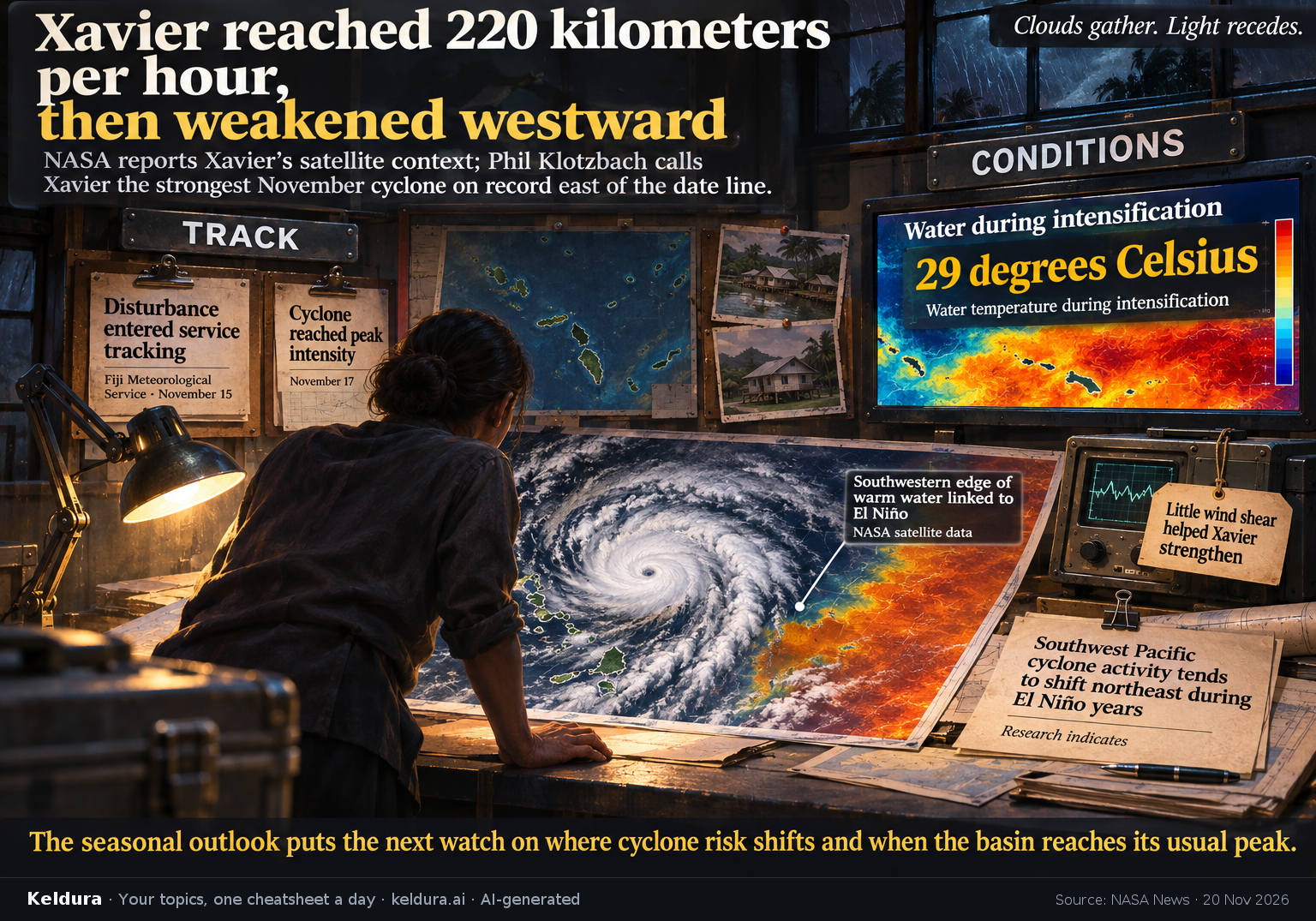
Xavier intensified from a disturbance the Fiji Meteorological Service was tracking on November 15 to a cyclone with peak winds of 220 kilometers per hour on November 17. [1] Colorado State University hurricane expert Phil Klotzbach identified it as the strongest November tropical cyclone on record east of the international date line. [1]
Why it matters: Xavier damaged homes and disrupted power in the northern Cook Islands, according to news reports cited by NASA. The Fiji Meteorological Service projects 11 to 15 named cyclones this season, with the greatest risk east of the date line and the basin’s usual peak still ahead in February. [1]
Key insights: Xavier intensified over water at 29 degrees Celsius and in an area with little wind shear, conditions that helped it strengthen. [1] | NASA satellite data showed Xavier along the southwestern edge of a warm stretch of water linked to El Niño; research indicates Southwest Pacific cyclone activity tends to shift northeast during El Niño years. [1] | At peak intensity, Xavier rated Category 5 on the regional scale and Category 4 on the Saffir-Simpson scale; both ratings describe the same storm. [1]
Cheatsheet facts: What happened: In two days, Xavier went from a disturbance in Fiji Meteorological Service updates to a cyclone with peak winds of 220 kilometers per hour. [1] | Why: Xavier strengthened over 29-degree Celsius water with little wind shear and formed farther east in keeping with the shift observed during El Niño. [1] | The catch: Homes were damaged and power was disrupted in the northern Cook Islands, but dry air and less favorable wind conditions weakened the storm as it moved toward Samoa and American Samoa. [1] | What's next: February is normally the basin’s peak month; the seasonal outlook projects 11 to 15 named storms, with the greatest risk east of the date line. [1]